Precision Drone Services
Delivering high-resolution mapping, real estate showcasing, and infrastructure inspection with precision and creativity.
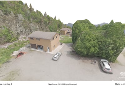
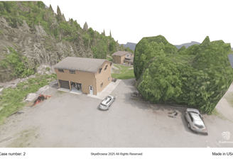
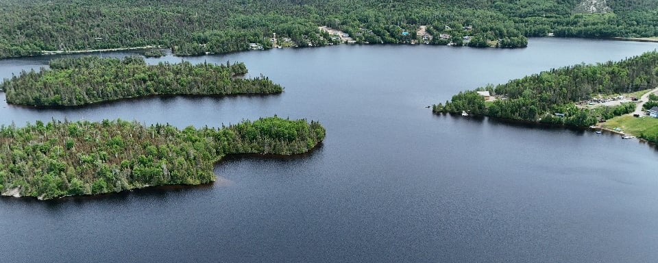
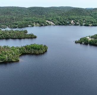
Aerial Mapping Solutions
Utilizing advanced drone technology for accurate and detailed aerial mapping tailored to your needs.
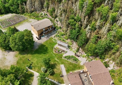
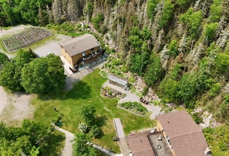
Real Estate Imaging
Showcasing properties with stunning aerial visuals that highlight their unique features and surroundings effectively.
Our team ensures every inspection is thorough, accurate, and visually compelling, respecting the environment we operate in.
Infrastructure Inspections


PYN NDL transformed our project with stunning visuals and precise data collection. Highly recommend their services!
Anonymous

The attention to detail and creativity in their aerial work exceeded our expectations. Truly impressive results!
Chris Joubert

★★★★★
★★★★★
Get In Touch
Contact us for precision-driven drone services that blend technical expertise with stunning visual storytelling.
Aerial Precision. Visual Impact.
Merging technology and creativity for aerial excellence.
Contact us
Want to stay up to date with our products and services?
+1-647-746-5119
© 2025. PYN NDL. All rights reserved.