
Aerial Precision. Visual Impact.
Combining technical expertise with cinematic storytelling for impactful results.
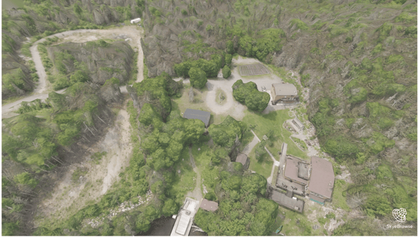
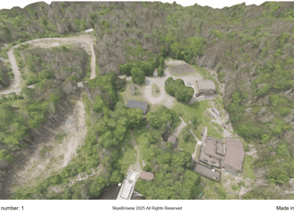
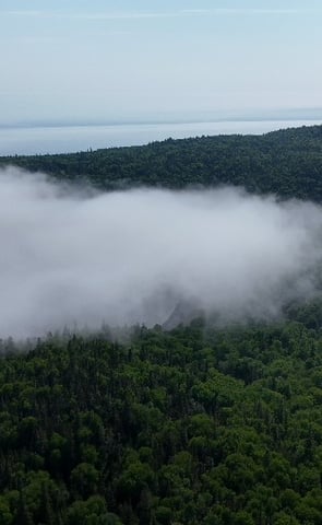
High-Resolution Mapping
Accurate and detailed aerial mapping services provided.
Showcasing properties with stunning aerial visuals.
Inspect infrastructure with precision and clarity.
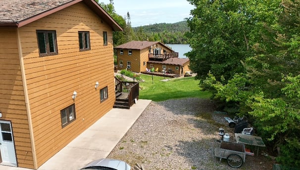
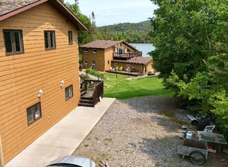
Real Estate
Infrastructure Inspection
Precision, Clarity, Creativity in Flight
At PYN NDL, we blend technical expertise with cinematic storytelling, ensuring every aerial mission reflects our commitment to Precision. Yield. and Navigation. through Next-Gen. Drone. Logistics.


Elevating Aerial Experiences
Your Vision, Our Mission
Driven by modern drone technology, PYN NDL specializes in high-resolution mapping, real estate showcasing, and infrastructure inspection, delivering dependable results with a visual edge while respecting the environments we operate in.
Professional Drone Services
Aerial solutions tailored to your needs.
High-Resolution Mapping
Accurate and detailed mapping services for various applications, ensuring precision in every aerial mission.
Real Estate Showcasing
Stunning aerial visuals that highlight properties, enhancing marketing efforts and attracting potential buyers effectively.
Impactful results.
Precision-driven drone imagery for stunning visual storytelling and mapping.


Get in Touch
Connect with us for precision-driven drone solutions and storytelling.
Aerial Precision. Visual Impact.
Merging technology and creativity for aerial excellence.
Contact us
Want to stay up to date with our products and services?
+1-647-746-5119
© 2025. PYN NDL. All rights reserved.